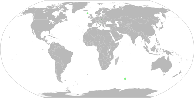
Narentia is composed of several exclaves, mostly accessible by sea.These exclaves are called banovinas and are mentioned in the constitution.
There are seven banovinas:
Poplavinska banovina[]
Located in west-central Slovakia, it has most control over the exclave. It is the historical heartland of the country, and consists mostly of the Narentian Republic and the Lasvar Republic.
Blue-Poplavina Republic,Red-Autonomous okrugs
It formed the northeastern part of the Prievidza district.
The banovina is bound by the Magura mountains to the west and Žijar mountains to the east. The northernmost point of the banovina is located near the Homuoljka mountain, the southernmost is located at the estuary of the Trebianjica river with the Plavina, to the north of the nearby Slovak town of Nováky.The westernmost point is found in the Njitrica valley, and the easternmost one in the Hrenovske lazi region (woodlands above Hrenovec, in the Zagorije region).
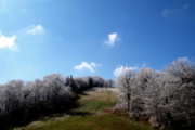
Magura from Nedožeri
The highest hilltop is the Magura(1120) in the west, the lowest is the surface of the Plavina river at the southern border (240m). It borders the Slovak district of Prievidza to the west, south and northeast,Žilina to the northwest and Turčianske Teplice to the east.
Homuoljka mountain, in northern Poplavina republic
The major rivers in Poplavina are the Plava (Njitra) river and its tributary the Mokrava (Handlovka) river. Most of the settlements lie in the Plavina basin.
Jadranska (Adriatic) banovina[]

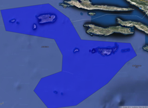
The northern parts of the Jadranska banovina, located in the Kvarner bay. Note that Istria is no longer claimed
Includes regions along the Adriatic coast of Croatia, from Istria as far south as Palagruža. It includes two areas- the Kvarner bay region-consisting of the Arbona a county, the Plavnik republic in the north,and the Dalmatia region, consisting of the Dalmatia and Vis counties. The banovina border

The Vis county, the largest Federal Subject in the Jadranska banovina, known for its many islands
s with Croatia on land, and has a sea border with Italy.. The most southerly point is the Palagruža rock. The easternmost point of the banovina is an islet in the Vis county known as Glavat.
The Dalmatia county, including 5 villages
The banovina is home to many islands, of them the largest are: Vis,Arbona (Rab), Lastovo, Plavnik .
Sjeverna (Northern) banovina[]
The northern banovina is very small and
includes only the disputed island of Rockall in the North Atlantic.
Rokal (Rockall), the capital and only place in the Skalna Province
Antarctic banovina[]
The banovina currently includes only the Kerguelens Archipelago. See:Kerguel
 Narentia Topics
| History | Early micronational history •De iure federations• Germanic period • Izkania • Slevania • Rebel Era • Narentian Civil War • Novomostje ceasefire •Treaty of Novigrad • |
|---|---|
| Geography | National parks • Terrain • Rivers • Islands • Cities |
| Economy | Narentian Dinar • Narentian Companies |
| Government and politics | Federal subjects • President of Narentia • Parliament of Narentia • Political parties • Foreign Relations • Education • Law enforcement |
| Culture | People of Narentia • Narentian microethnicities • Languages of Narentia • Narentian language • Lasvarian language • Iryllian languages • Iryllia • Religion in Narentia•Holidays in Narentia |
| Symbols | Flag of Narentia • Coat of arms • Narentian National Anthem |
| Military | Awards and decorations of Narentia • Organised and controlled warfare concept |
| International participation |